So my brother and decided rather last minute to do a tramp in the St Arnaud area, the Sabine-Travers loop with a detour off to Blue Lake.
Our planning got off to a cracking start, the afternoon before we headed down to the supermarket, bought far too much food and then headed to the pub to ‘plan’ out the trip.
So we headed down to The Freehouse and got stuck into some serious planning.
It gets to around 10:30pm and by this stage we had made quite a few rather happy plans, none of which had anything to do with the tramp on hand but rather where we would go for a beer when we got back. Nothing wrong with this sort of planning at all.
Get back to the house around 11pm and start packing, at this stage we realized that it possibly wasn’t the cleverest idea to go out drinking the night before a 5 day tramp but many jokes were cracked as we stashed our food, supplies, and clothing into our packs.
I had this insane idea that taking a lot of calorie dense food was a good idea so we had about 5 blocks of dark chocolate, 2 tubs of peanut butter, and loads of other food that wasn’t exactly necessary – never mind, it was going to get a nice trip around the lakes.
Managed to hit the hay around 1am and we had booked the water taxi for 7am the following morning to take us up to the head of Lake Rotoiti so had to be up the next morning around 5am to get ready and up to the carpark in time. Stopped for a feed of Maccas on the way up, another great move for starting out a 5 day tramp.
Lets just take a moment to summarize the brilliance of the planning for this trip:
- Hit the pub the evening before until 11pm
- Get to bed around 1am
- Sleep for a massive 4 hours
- Eat Maccas for breakfast on the drive up
We make it up there on time, Matthew pays the water taxi dude (I still owe him my share of the fee…) and after a non-eventful 15-20 minute trip we arrive at the jetty just to the side of Lake Head Hut.
Boot laces tightened, packs adjusted, we head off… for a massive 5 minutes before arrive at Lake Head Hut where I need to take care of business in the sandfly infested long-drop.
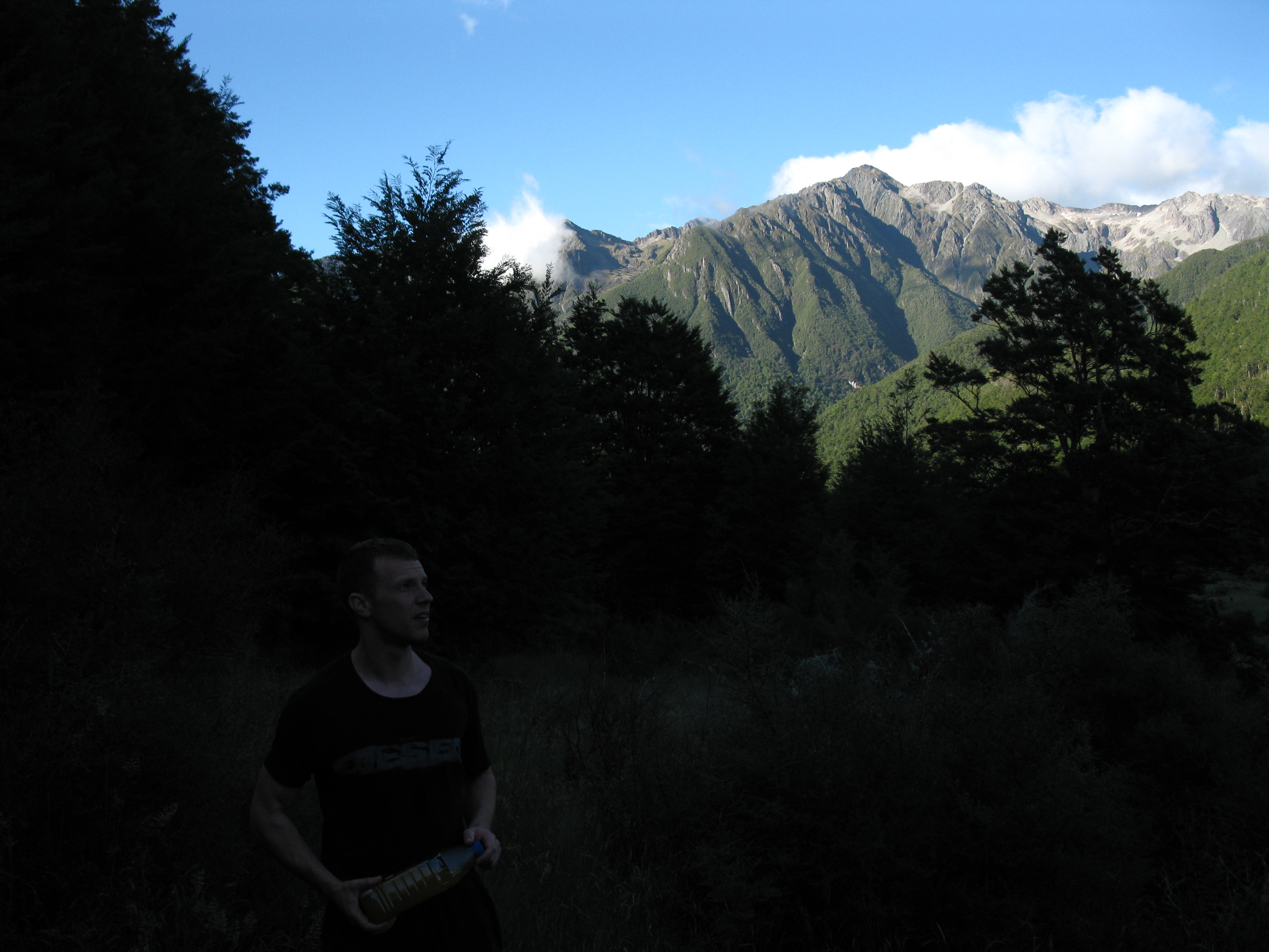
After managing to keep the family jewels free of sandfly bites we head off again. The weather was fantastic, beautifully sunny and just a tiny chill in the still early morning air.
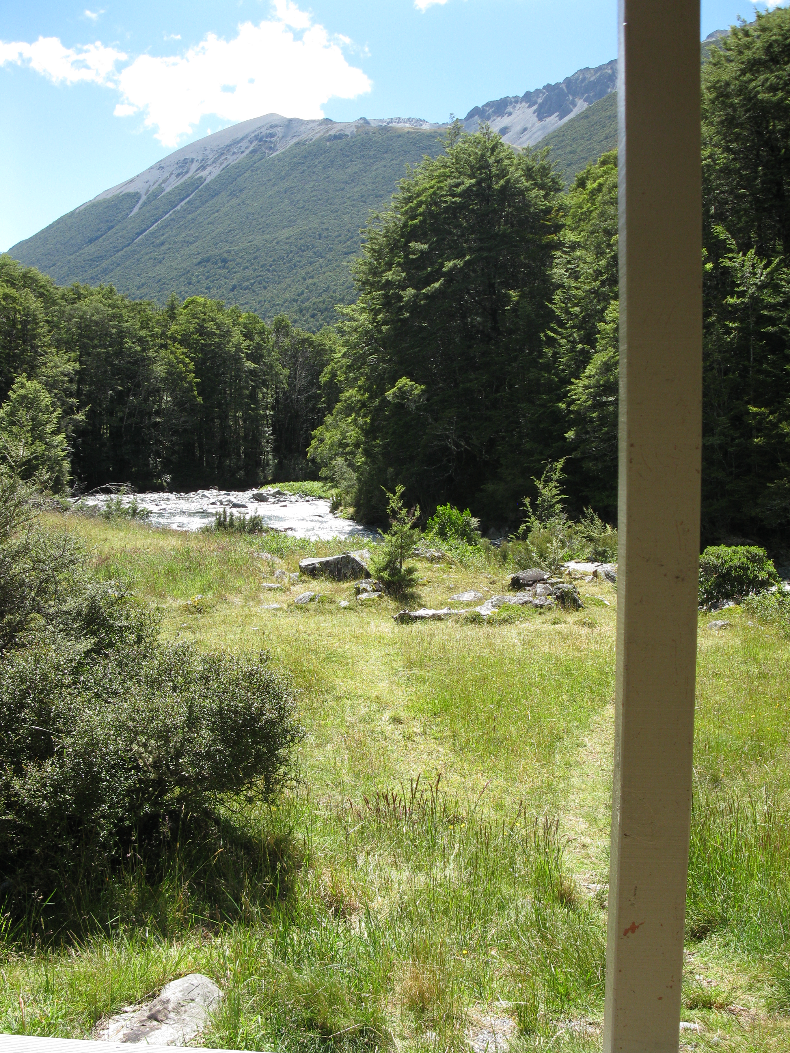
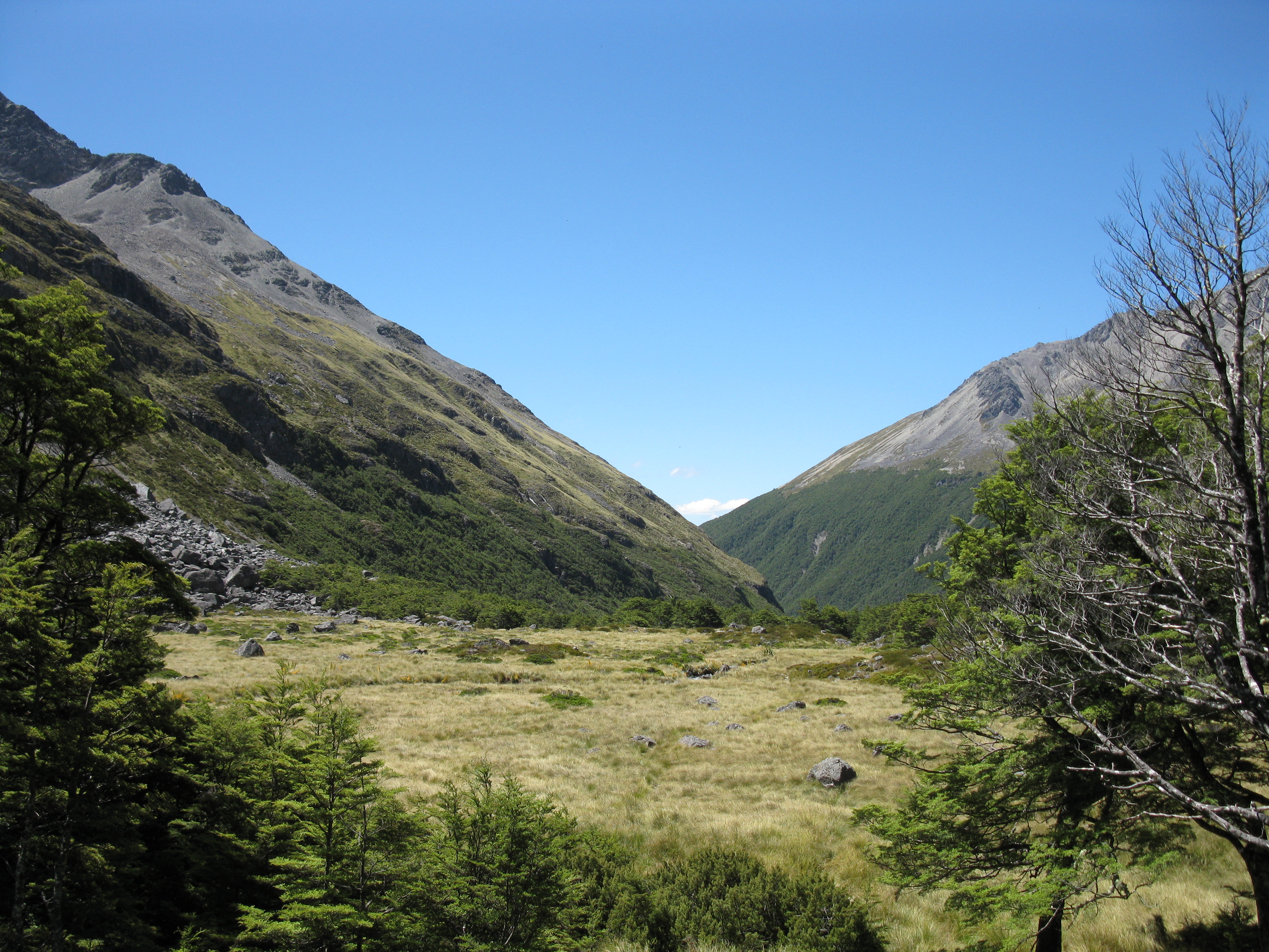
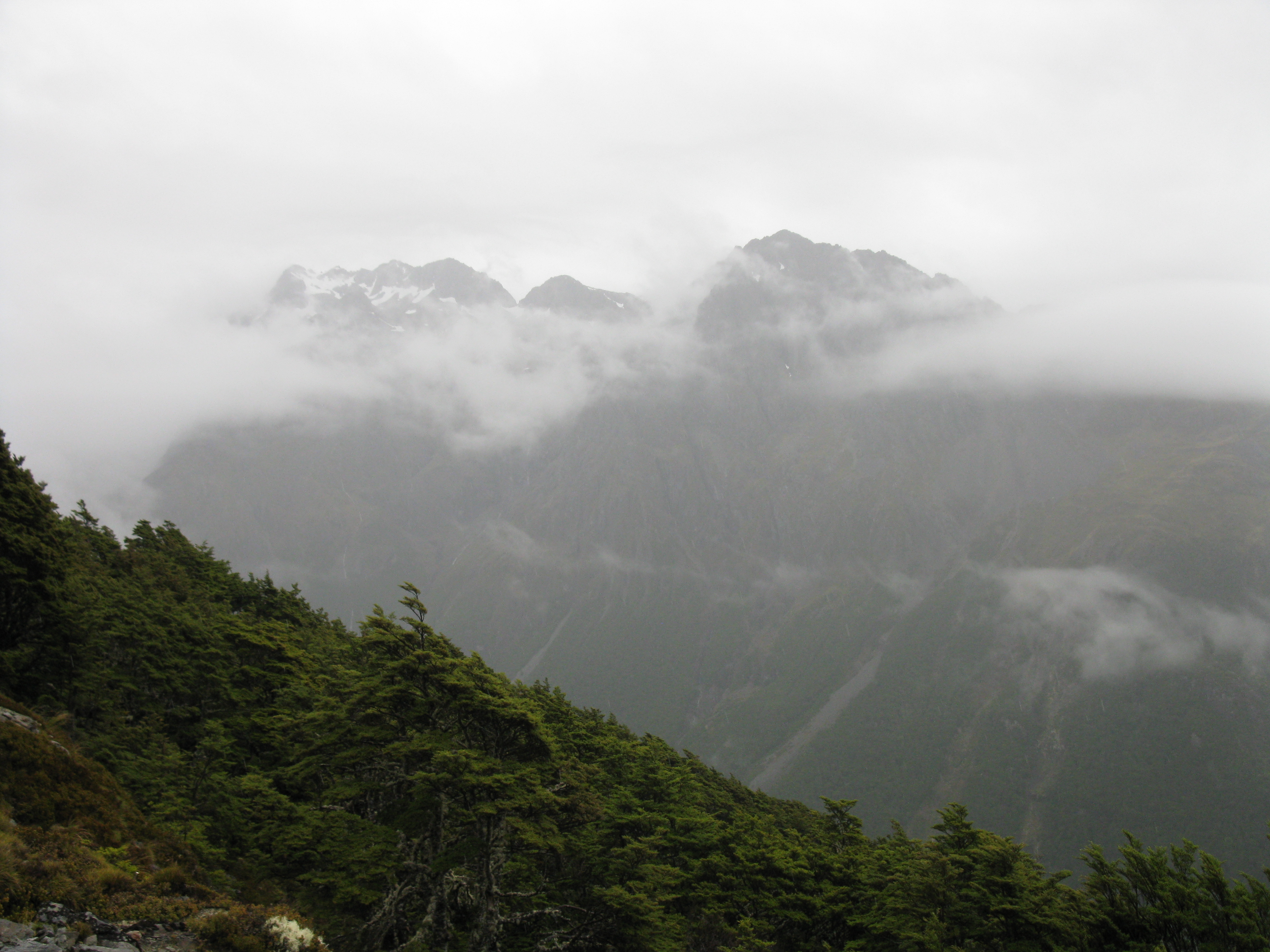
Stopped for a quick drink and photo after about 30 minutes and here you can see a the mountains up leading towards Travers Pass.
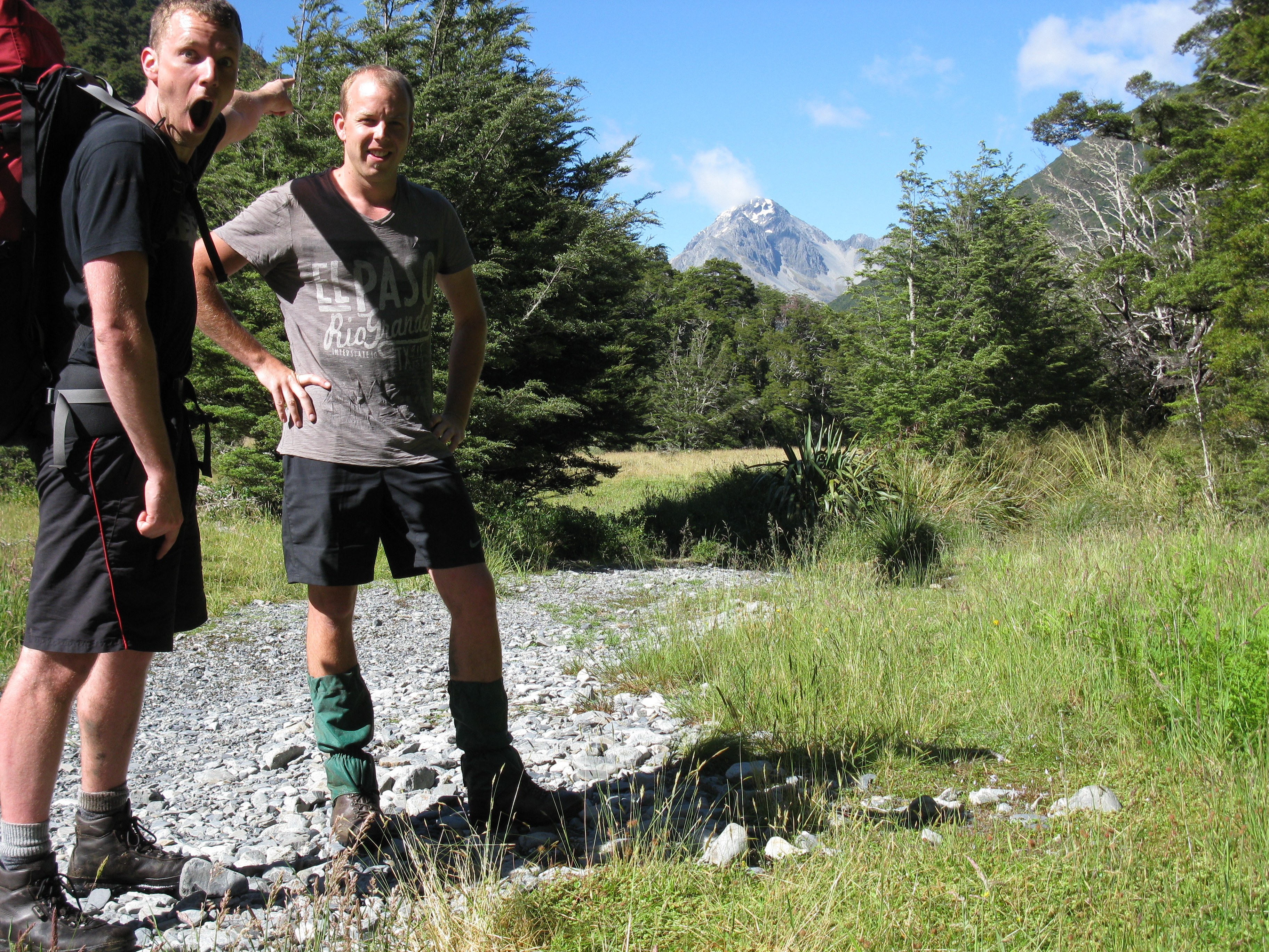
From Lakehead Hut the first approx 1 hour of the walk was following the river quite closely and through a few rather large grass clearings which gave fantastic views of the mountains we were approaching. The only downside was the grass was very wet due to some heavy dew so the boots got pretty soaked after a while.
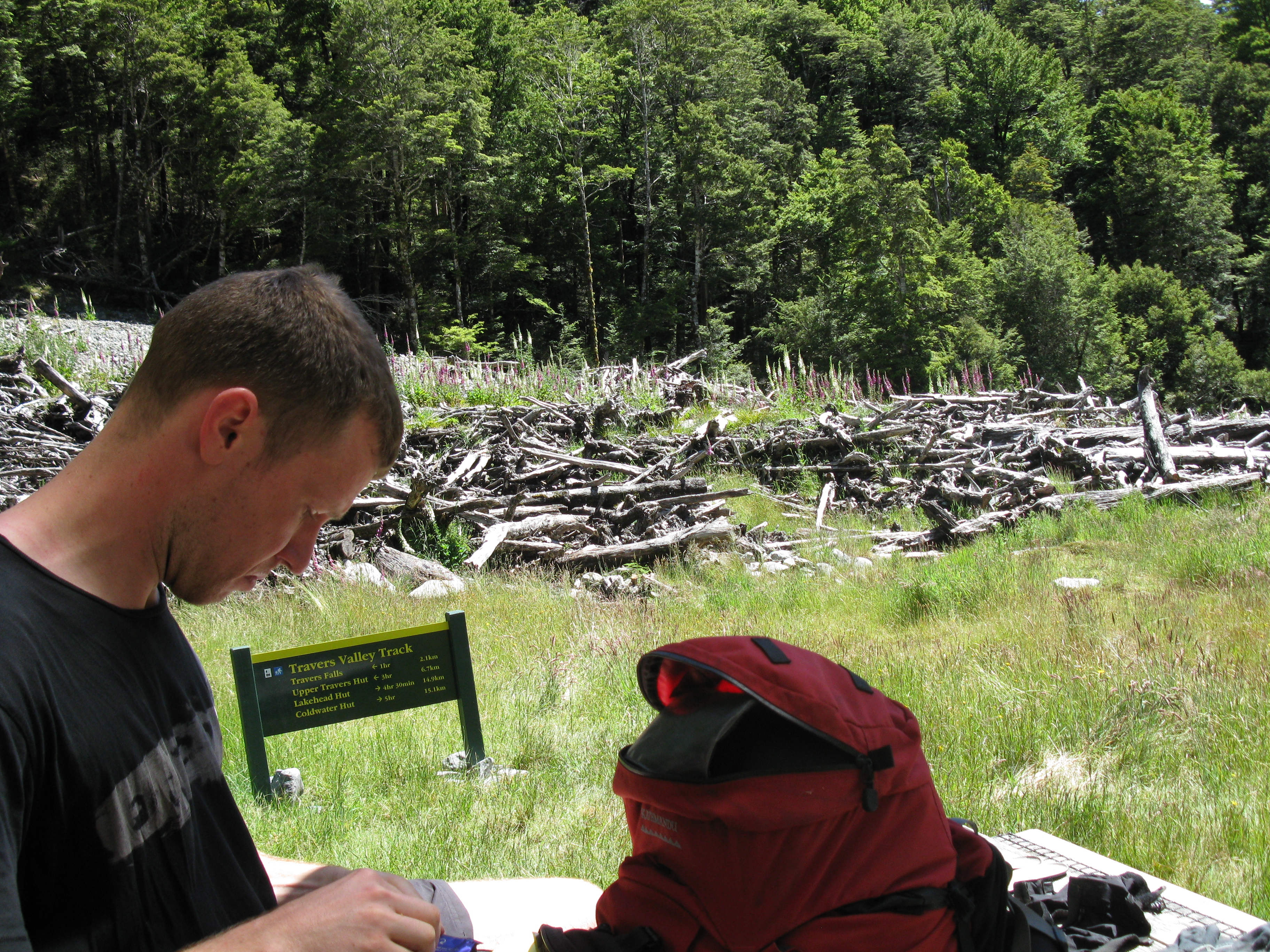
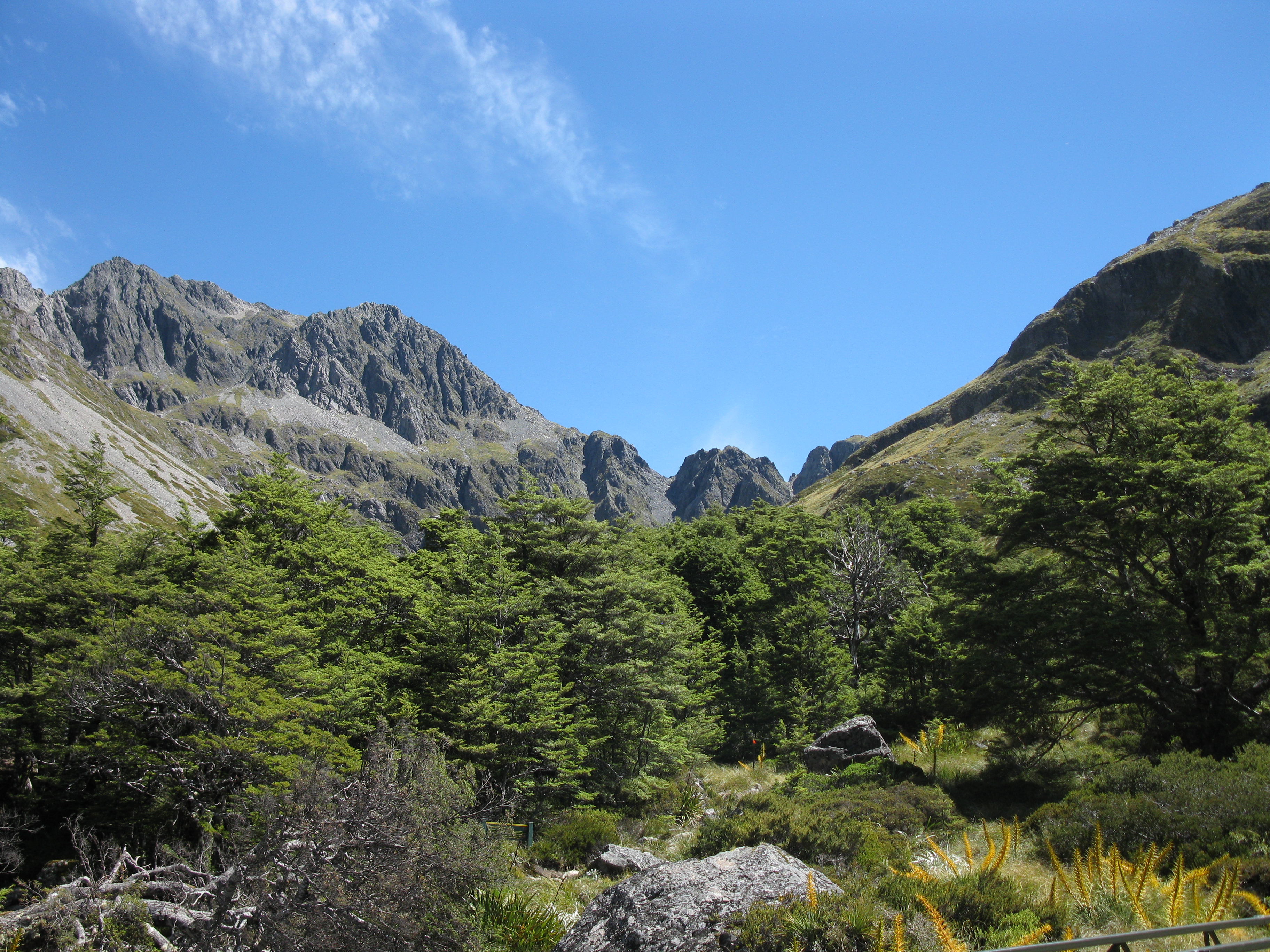
Stopped to snap another photo after about 1 hour and you can see I was rather excited to be getting closer to the mountains.
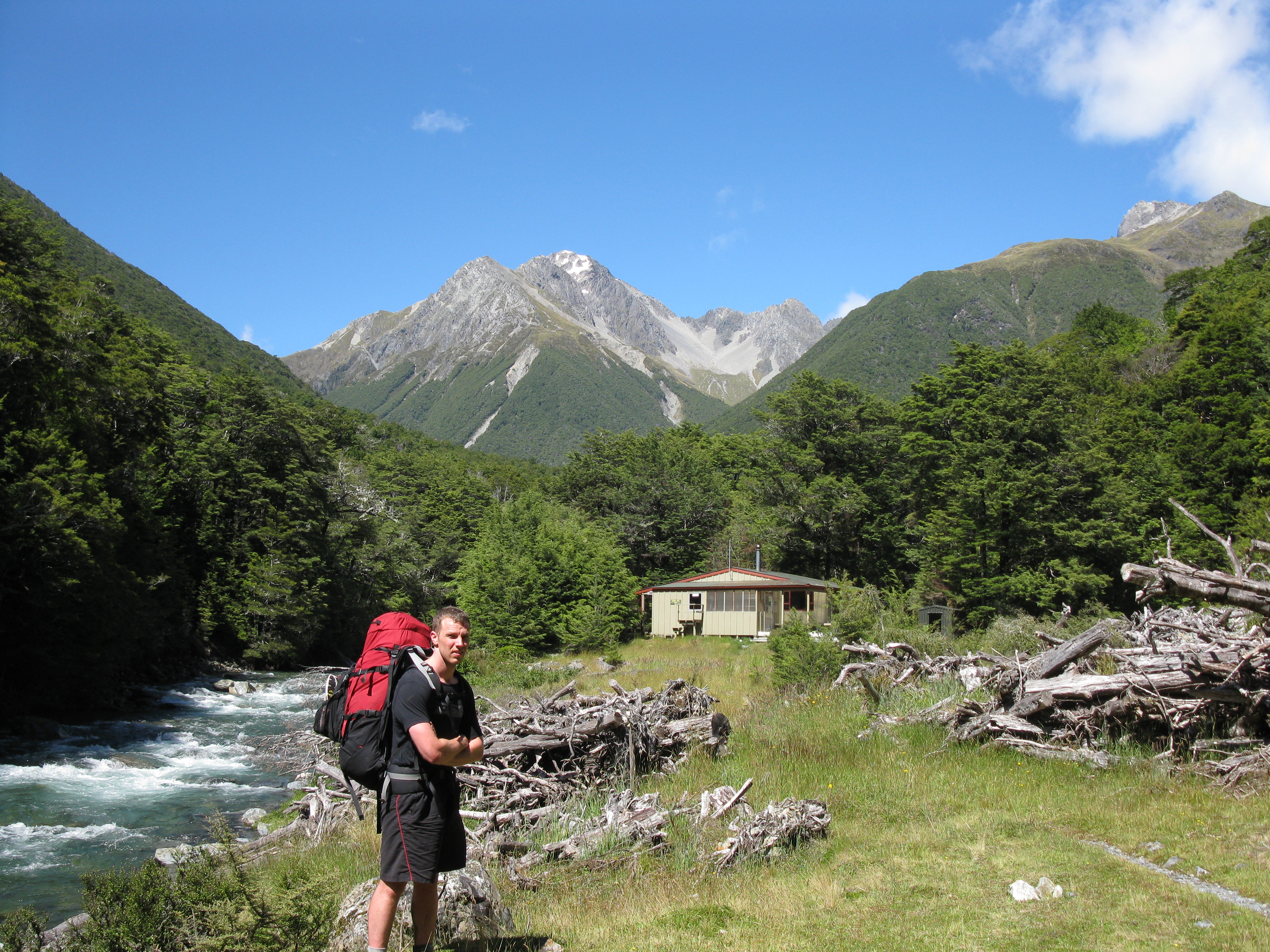
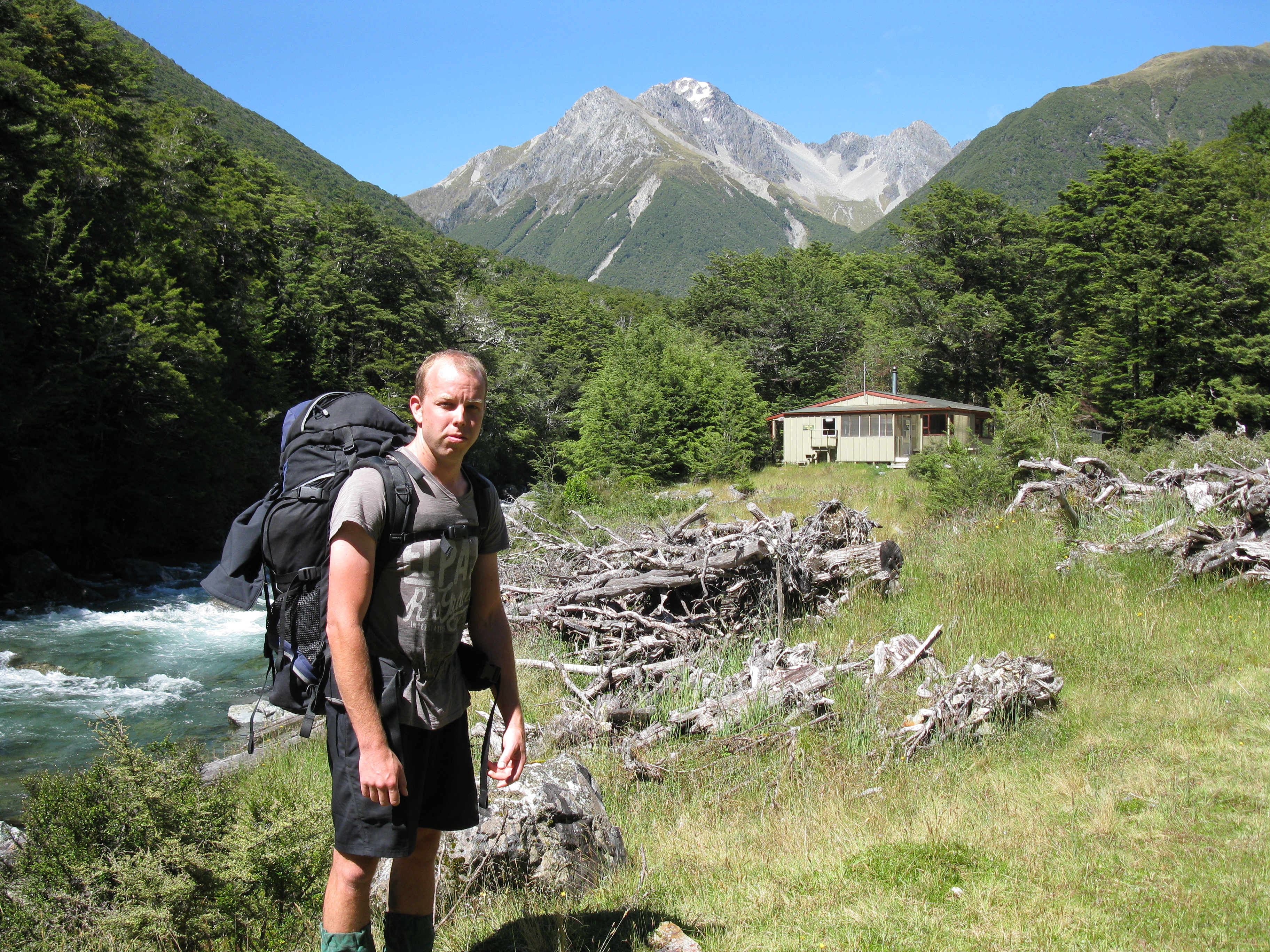
Up until this time the track had been pretty easy walking, almost flat infact, but shortly after the track had a noticeable, but not difficult, incline up to John Tait hut. The walk from Lake Head hut to John Tait was supposed to take 4.5 hours but we managed a pretty quick pace and arrived there after just 3 hours.
Here we are just infront of John Tait hut, was pretty warm at this stage so a quick lunch break was in order and a bite to eat.
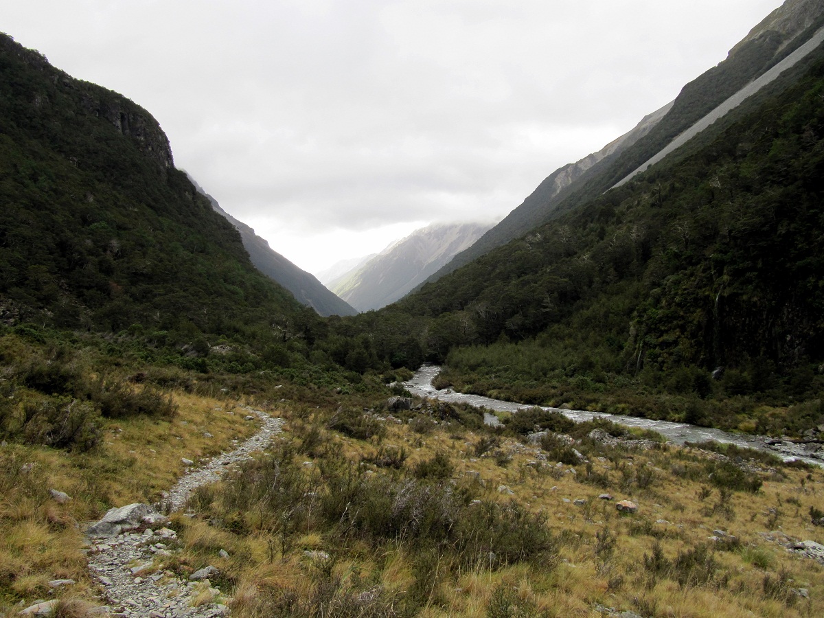
Looking down the valley where we had just walked from, had lunch on the deck and enjoyed the fantastically sunny weather – little did we know this was going to be the only decently sunny day of the entire trip.
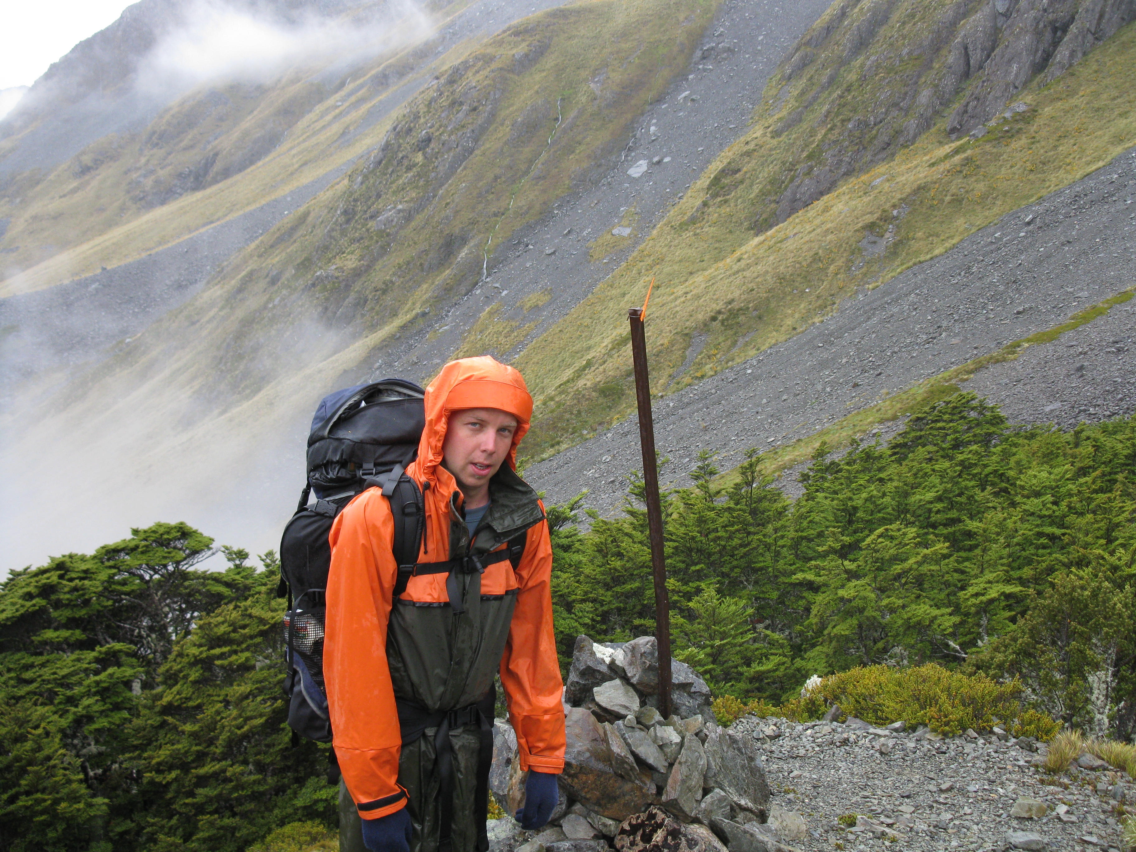
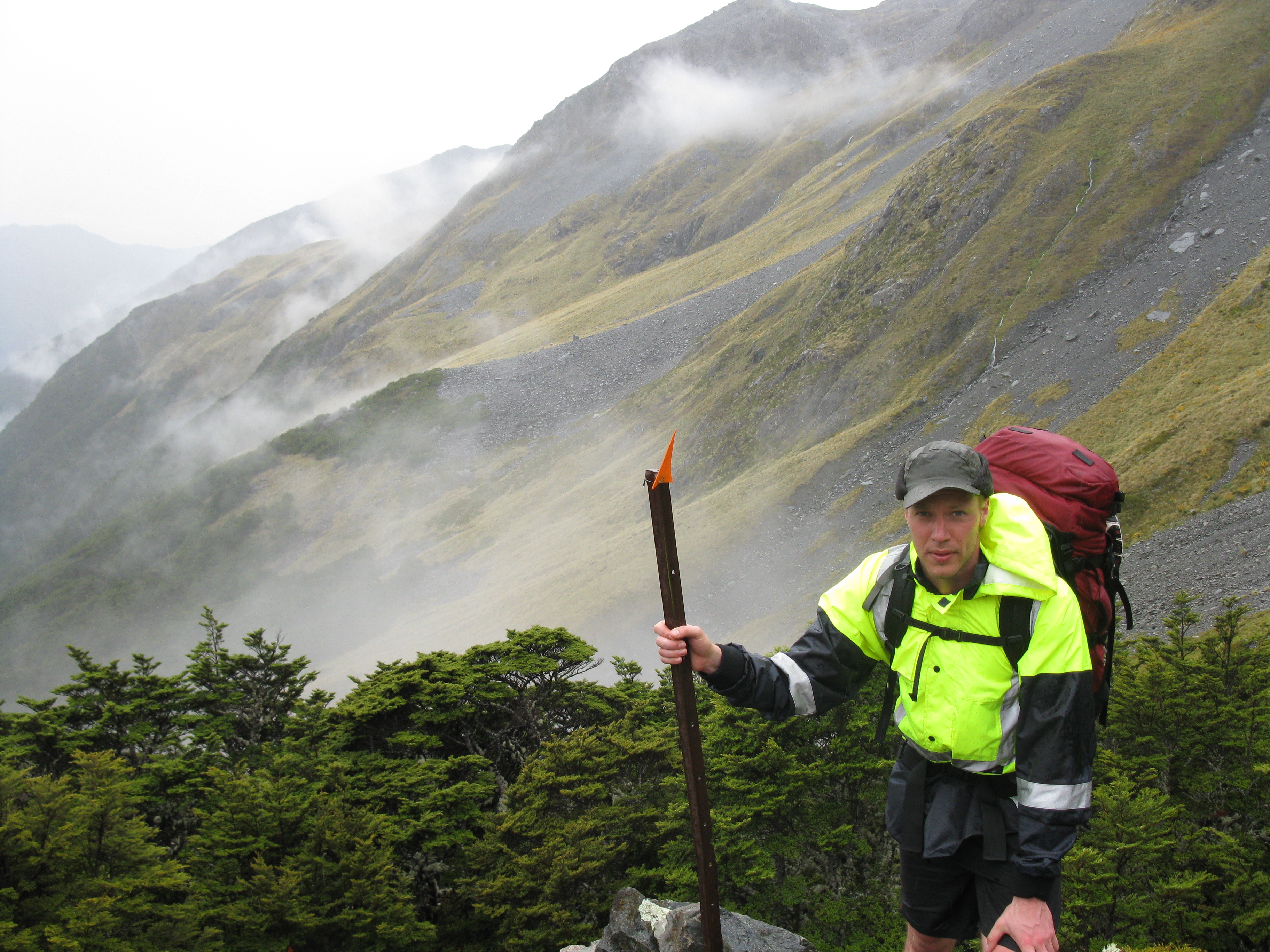
After John Tait hut, the walk up the Upper Travers hut was significantly more difficult. For the first hour it wasn’t too bad, a few creek crossings but we certainly noticed it getting steeper and steeper the further we went. At around the 1/2 way mark we met a DOC volunteer ranger who we would also end up seeing at Speargrass hut on the Thursday night.
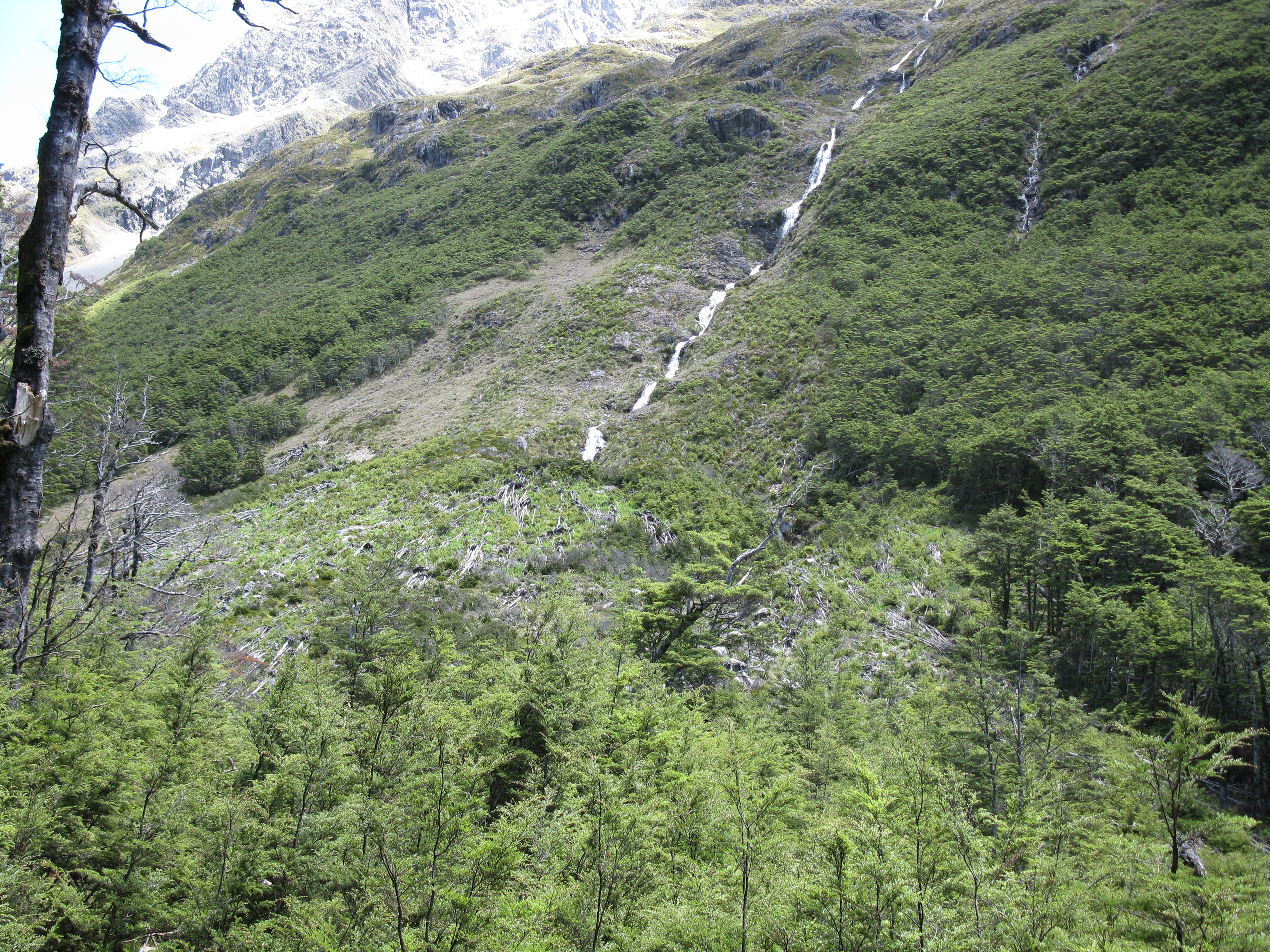
For the last half of the trek up to Upper Travers hut, the track was pretty darn steep and quite demanding. Had to stop fairly frequently to catch our breathes and curse the weight of our packs (all that stupid calorie dense food I had oooh so wisely packed). Still managed to set a pretty good pace though and as we got closer the approaching Mt Travers certainly looked quite daunting to climb.
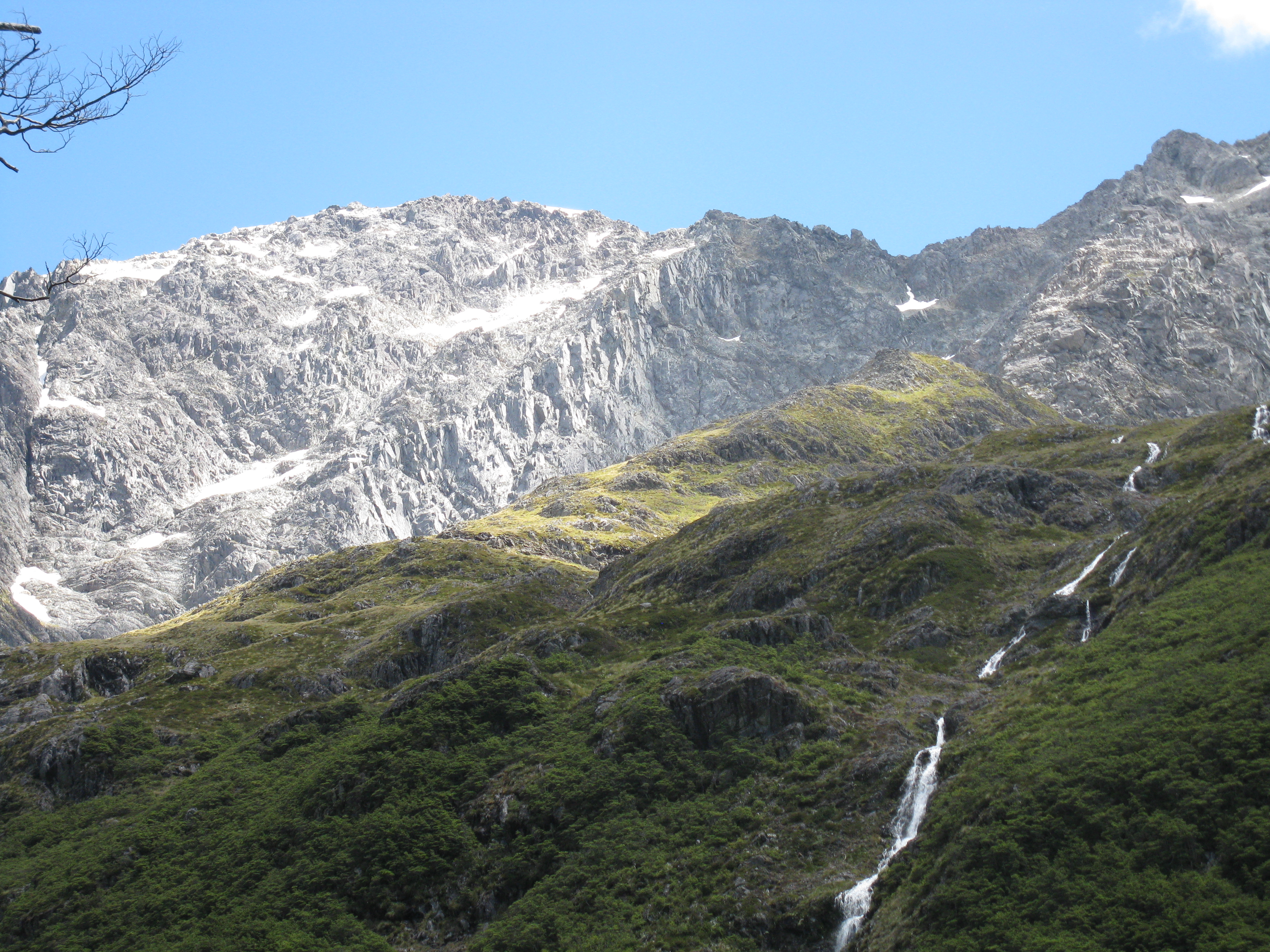
There were numerous avalanche warnings along this section of the route and damage to the forest from previous avalanches is clearly visible in this photo:
By this point we were both fairly hot and sweaty parts of the climb were pretty steep indeed, a bunch of scrambling over creeks and boulders was required too, not complaining mind you – that’s half the fun!
Finally the track flattened out and as we rounded a corner the welcoming site of the Upper Travers hut greeted us.
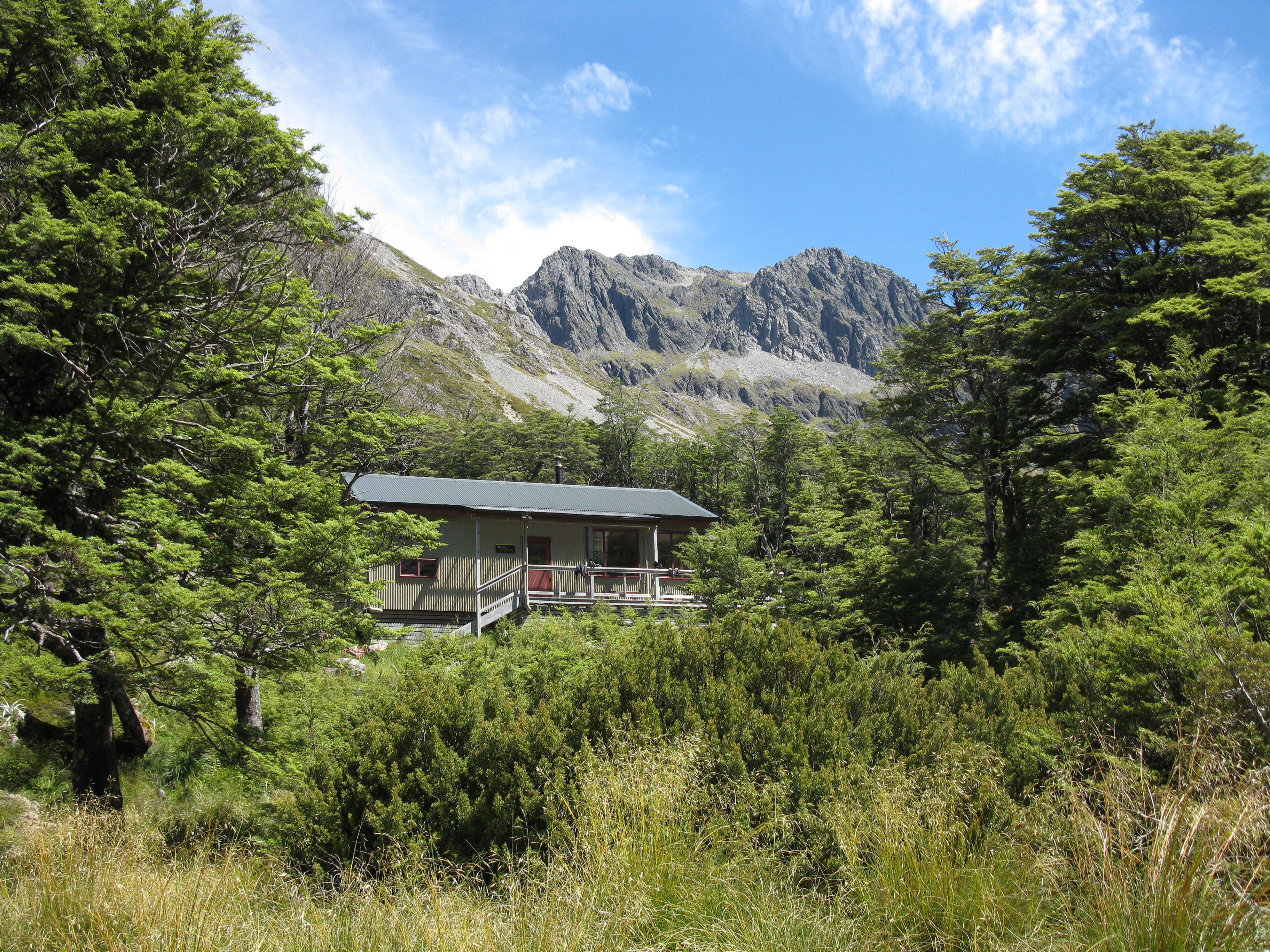
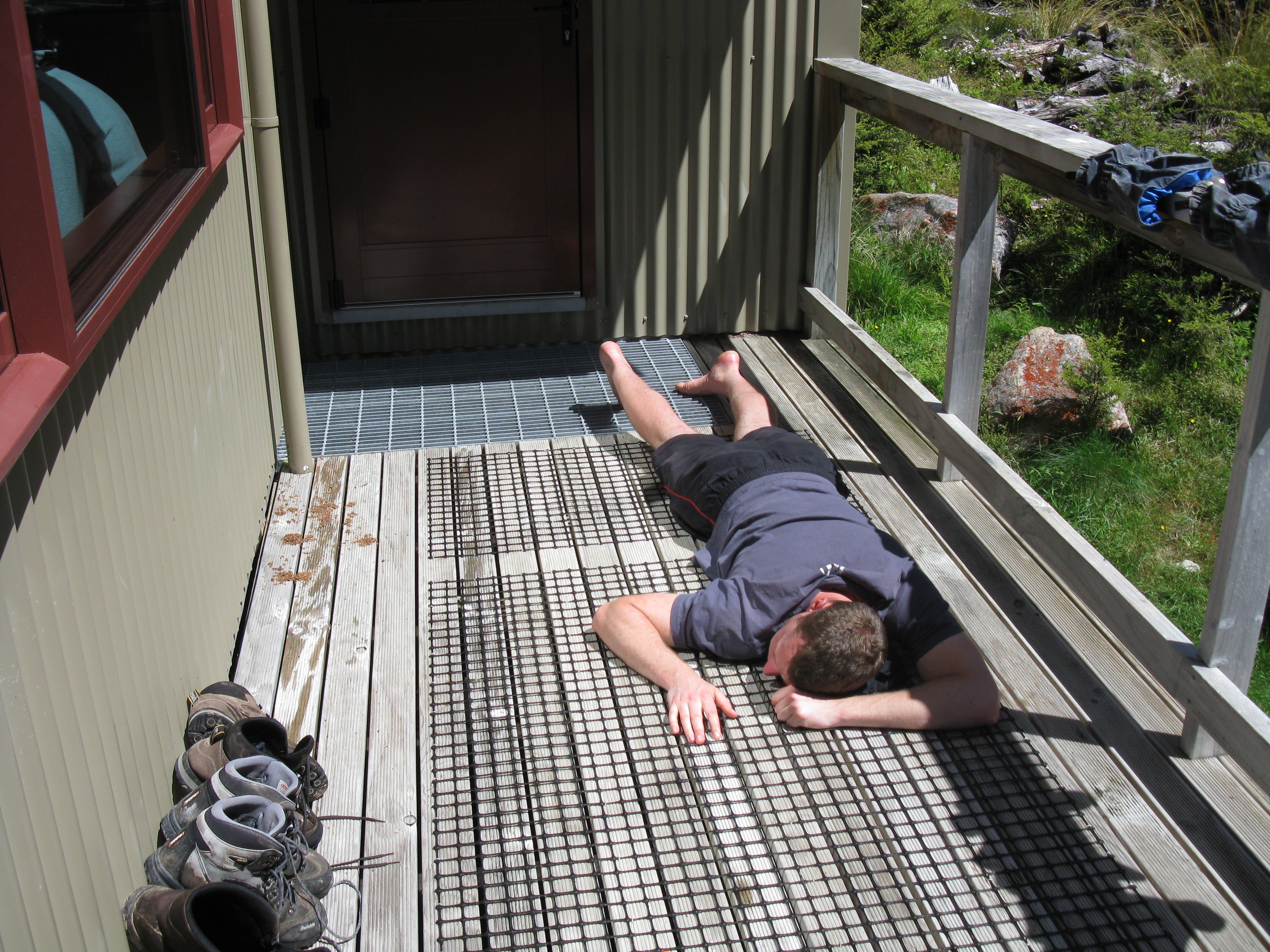
There were a number of people already here when we arrived but as the hut had 32 bunks we weren’t too worried. Were both a little tired at this point, had managed the do the 3 hour walk in just over 2 so were obviously setting a pretty quick pace still. As it was such a fantastic day had a bit of a relaxing lie down on the deck and I may have ended up dozing off for a while and gotten myself a case of slightly sunburned legs.
 Originally the plan was to attempt climbing the summit of Mt Travers, but to be honest, when we saw how rugged the peak was we were a little undecided to say the least.
There was a suggested approach that required walking back down the valley about 45 minutes and coming from the south side, but having just slogged our way up the steepest walking we had done yet that idea wasn’t exactly discussed with much enthusiasm.
We decided to just chill out for the remainder of the day and if the weather was super nice the next day, have a shot at scrambling up the scree slope and sneak south a bit and see if we could manage something there.
The afternoon relaxation was fantastic though, the views from this part of the valley were stunning. I even went as far to go down to the small river and wash my feet/face in the brutally cold water. This water was so cold it actually hurt to hold your body in there for more than 1-2 seconds at a time.
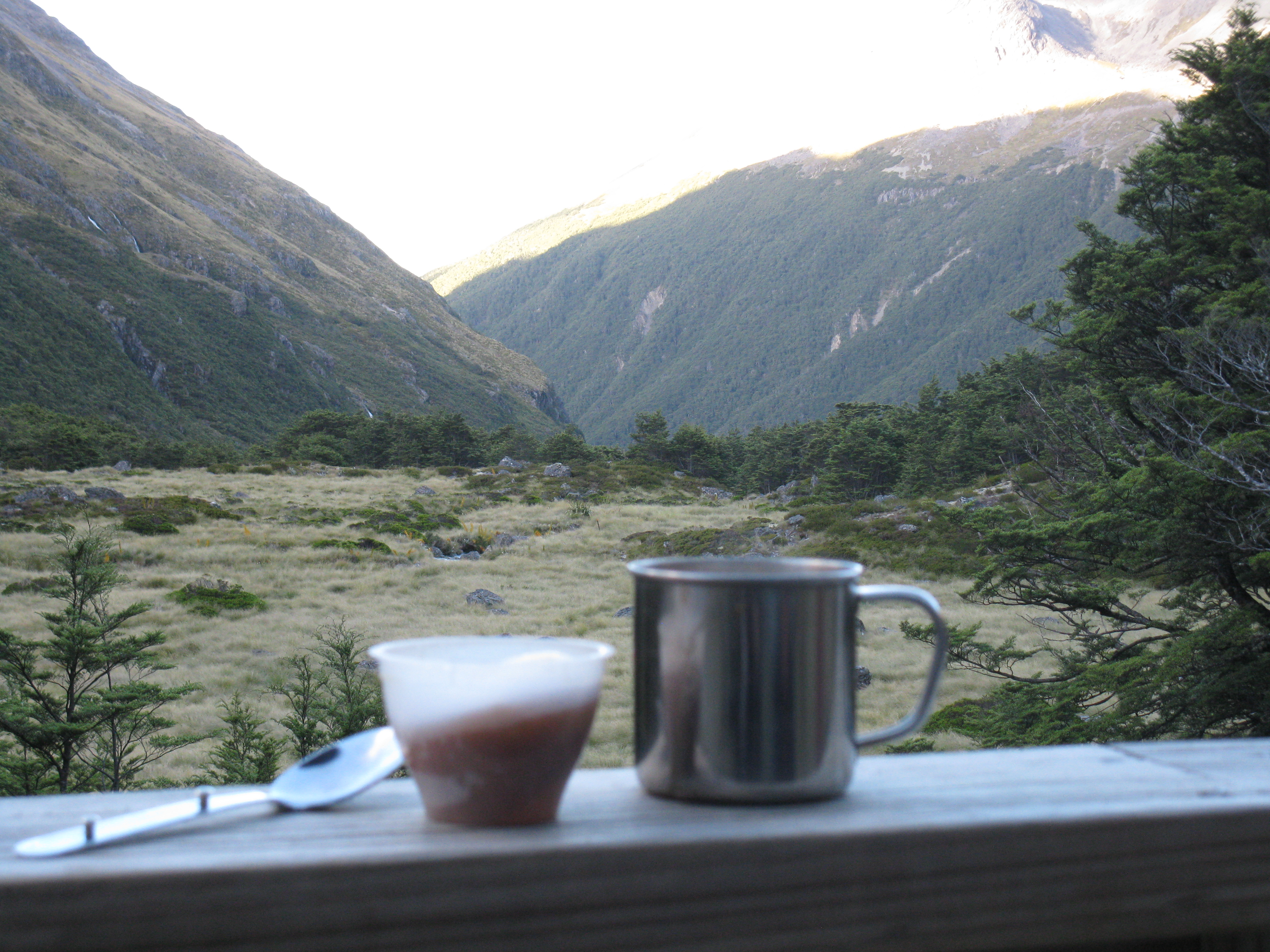
 This is the view from the hut’s deck looking down the valley we just ascended from.
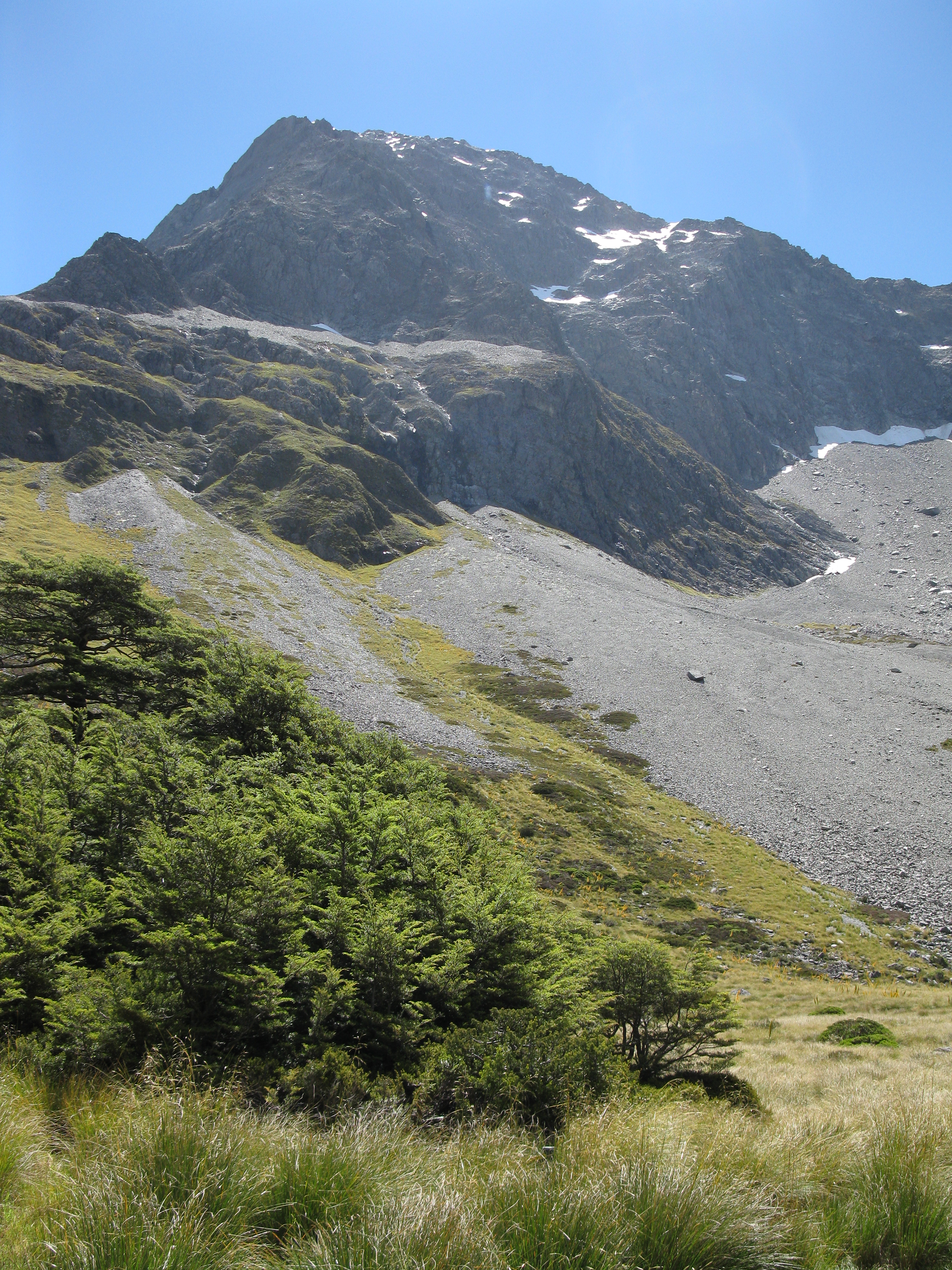
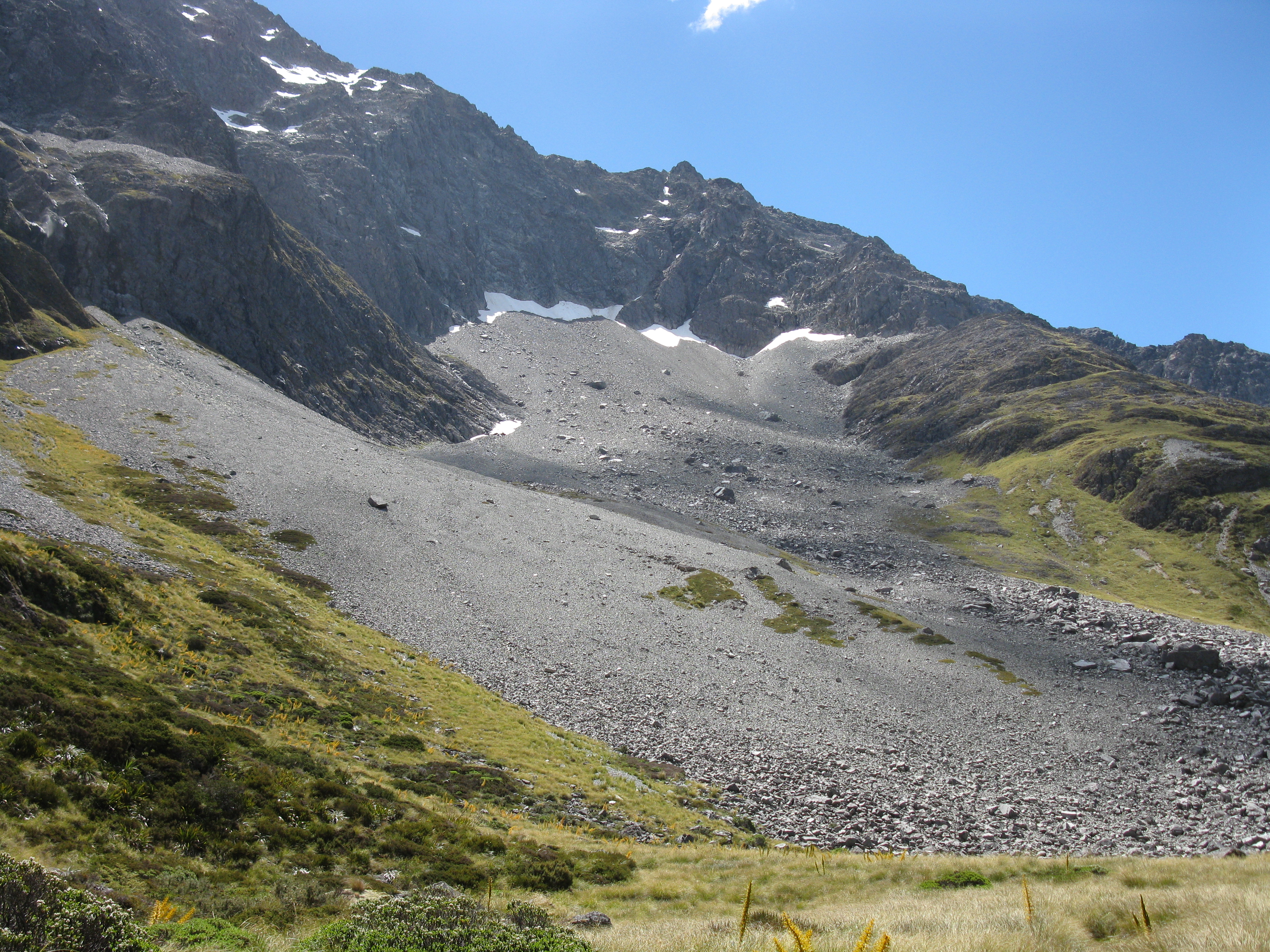
 The mountain range behind the hut and the location of the Travers Pass track we would be heading towards tomorrow.
As the evening approached a rather large group of people arrived – mixed ages and rather loud/noisy hippie type people. Slightly ruined the serene atmosphere that the rest of us were all enjoying I think. We made our dinner and chose to eat it outside as it was quite noisy, hot, and smelly inside by this point.
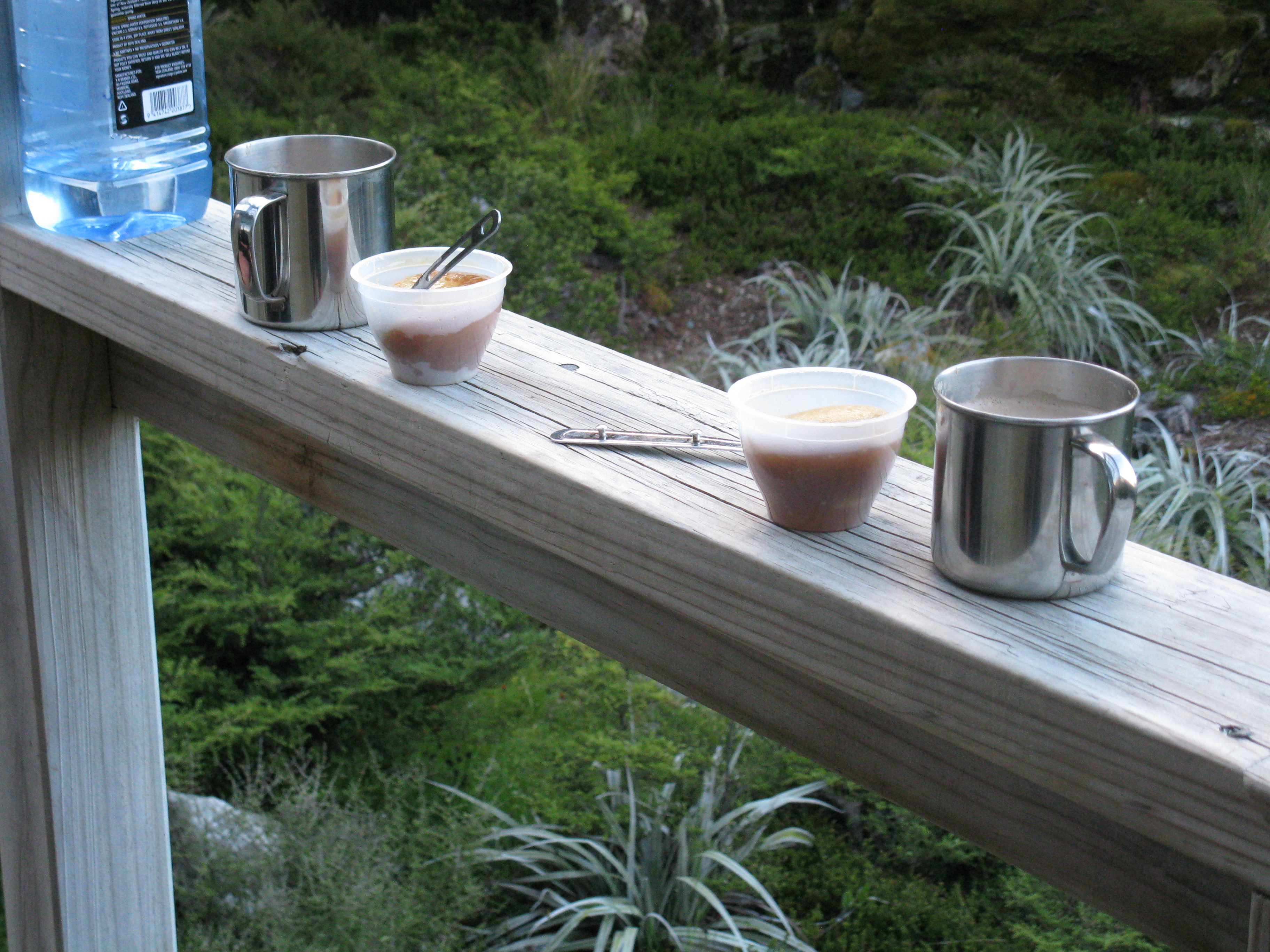
Was very relaxing outside, started to get a little bit nippy as the sun went down but we hardly minded. As a treat we had packed a couple of small golden syrup steamed puddings with us, so as everyone else ate their boring dehydrated food inside with the noise and smell of 30 odd people, we relaxed outside, enjoyed the views and ate our delicious food.
By this point there were about 35 people in the hut, had never been in a hut so packed – luckily we had reserved our bunks much earlier so had nothing to worry about. As it got dark called it a night and got some sleep. I had rather cunningly chosen a bunk right next to a small window so kept that open all night to enjoy fresh air as opposed to the very strong smell of feet and old socks/boots.
Day 2 – Upper Travers Hut to Blue Lake Hut
Woke up the on Tuesday feeling a tiny bit stiff and sore but quickly got organised to we could be off and ahead of the mob of people that would be following us. ‘Enjoyed’ a breakfast of dehydrated bacon and eggs which although they boasted an impressive 1,100 calories we would soon find out that felt like utter rubbish. Certainly very salty….
The weather was pretty crap at this point, low cloud and hinting at raining so we decided to skip the attempt at the summit of Mt Travers as we wouldn’t get any views anyway and just head over the Travers Saddle and down to West Sabine hut.
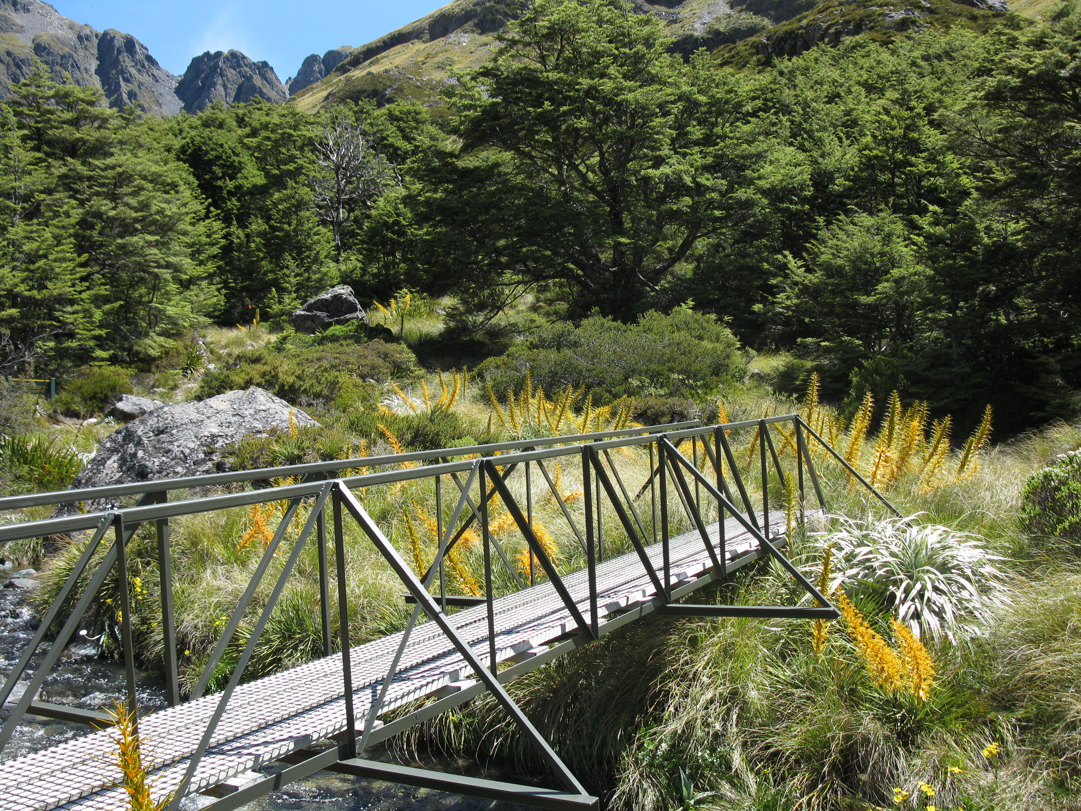
The walk to the Travers Saddle started across this rather nice/new bridge, but this photo had been taken the day before, was foggy and rubbish weather on Tuesday.
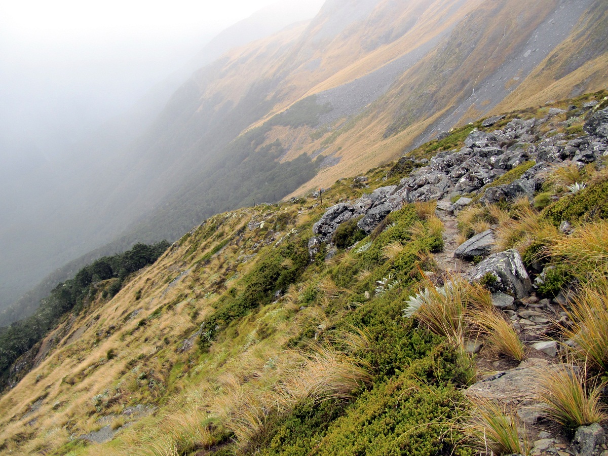
The track ambled up the valley towards the saddle for about 30 minutes then started to get seriously steep.
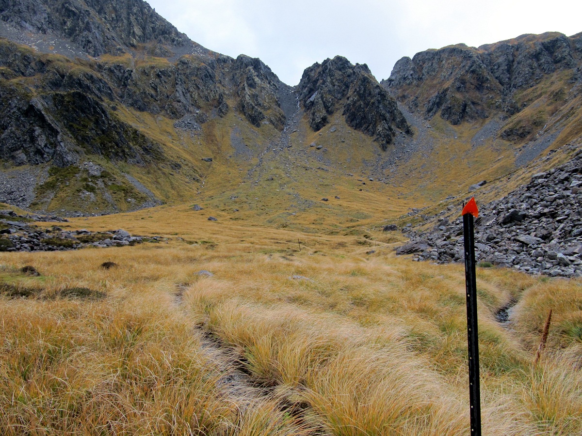
From the photo above, the track veers sharply off to the right and starts a pretty intense climb to the top of the saddle.
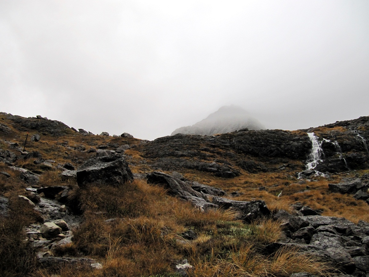
As we got to the top, the cloud really closed in, a harsh wind picked up and the rain started. So we quickly donned our wet weather gear and carried on. Standing still was pretty darn cold.
Looking back down towards the valley at Upper Travers Hut:
The view towards the Travers peak shrouded in cloud and fog. Even at this time of the year there were signs of snow still lingering.
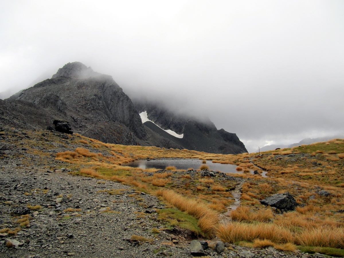
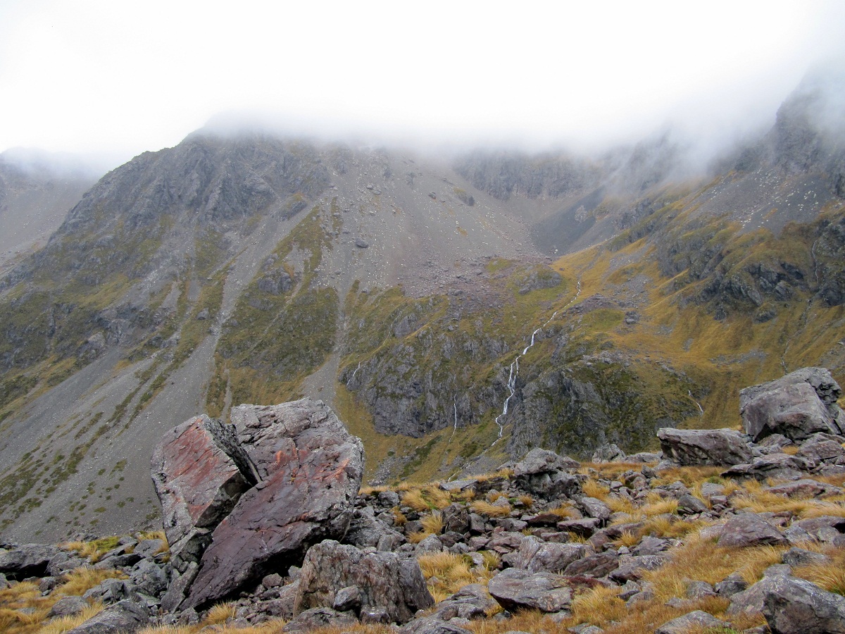
The photo above is about 200 meters down the other side of the Travers Saddle – weather was pretty nasty still.
Here you can see how steep the decent into the Sabine Valley was about to be:
This decent was pretty rough on the knees to say the least. Dropped over 1,000 meters in about an hours walking. Scrambled down a scree slope for a fairly decent portion of the decent trying to pick out where the track was – markings weren’t visible at this point and just had to try and spot where other people had walked. Once we hit the bush again the markers on the trees were clearly visible and a fairly worn track could be followed. The decent was still steep though, by this point my left knee was giving me a bit of grief – felt like pure jelly.
Soldiered on though, eventually get to the bottom of the valley and cross the chasm – which I didn’t take a photo of, massive regret. A short bridge across a 1-2 meter wide crevice in the rocks that must have dropped a good 10+ meters below into a raging chasm of water.
The next part of the walk through to West Sabine hut was annoyingly long and even more irritating had a number of uphill sections to its name. Plodded along through soggy/boggy tracks, up and down little valleys, slipped on a few tree roots and wondered when the hut was going to be visible. We had incorrectly been told it was only about 15 minutes walking through the bush but was more like 1+ hours. When we reached West Sabine hut we were both pretty hungry, soaked through from the rain, and our jelly knees were begging for a rest.
There were a few people in West Sabine hut and they had a fire going which was nice, we ate our lunch and decided to push on to Blue Lake hut which was supposed to be about 3 hours away. We knew a large number of the people who had stayed at Upper Travers hut with us the night before were headed here so didn’t really want to spend another evening in a jam packed hut.
So we donned our still soaking wet jackets and headed off to Blue Lake hut. We had read the description and knew we were in for a bit of a steep climb but had no idea that it was going to be quite as steep as it was!
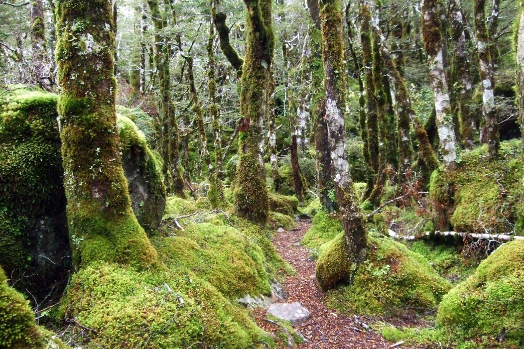
The track initially follows along the Sabine river through a very mossy mystical feeling forest and was fairly easy walking.
The rain had caused the river to appear a little swollen though and I did voice my concerns to Matthew but he assured me we would be fine. I must admit I didn’t really take his word for gospel but the thought of heading back to West Sabine hut was equally unappealing so just kept my trap shut.
About 45 minutes into the trip, we had crossed a couple of massive rock avalanches and just hoped no boulders would decide to take a tumble as we crossed them. We had barely finished crossing one particular pile of rocks when we heard a fairly decent side rock slide behind us – we thanked our lucky stars we were there to witness it and carried on.
We meet a couple of people who were headed down from Blue Lake hut who told us we were about 1 hour away from the hut and that another couple were still there and had a nice warm fire going – turns out these guys were total liars on both accounts. Had a good 2 hours to go and the fire (when we arrived) was pathetically cold, but more on that later.
The track cleared out for a while and we crossed some decent rocky terrain, still closely following the river.
 The above photo is looking back down Sabine Valley.
The track then veered away from the river a little and started a very steep climb into the mountains. Parts of the track were extremely steep and one little slip would’ve meant a rather nasty tumbled down the valley into the river.
At this point we both thought this was the